


 Back to News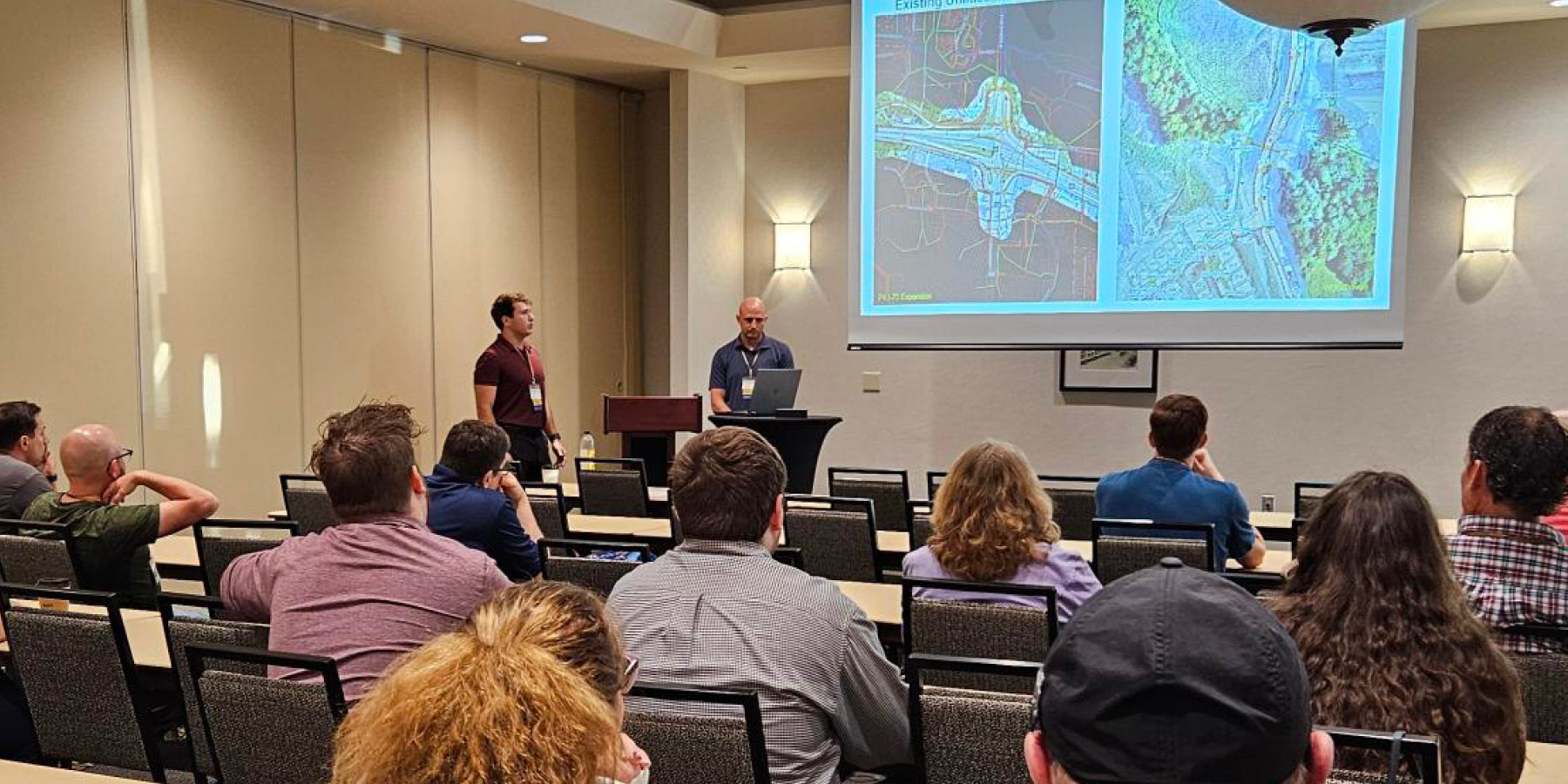


More Than a Map: How ESS Is Using GIS
Geographic Information Systems (GIS) is changing the way our teams plan, build, and manage projects.
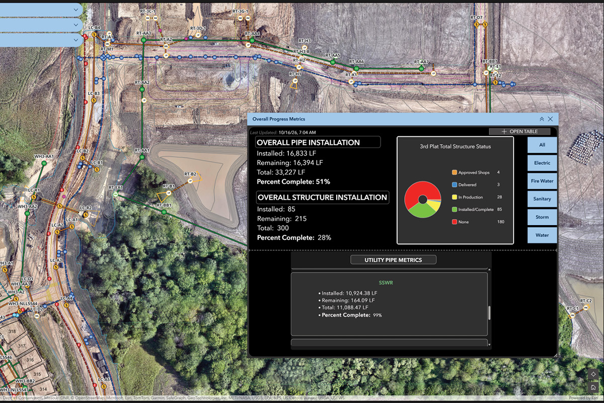
GIS connects project information to a map and gives teams a place to see where things are, understand the information connected to them, and identify what needs attention. By bringing project information together and tying it to a specific location, GIS gives our crews a clearer picture of what’s happening and helps them put that information to work on the jobsite, in meetings, and when making decisions.
 A Different Approach to GIS
One of the things that sets ESS apart is how extensively we use GIS. Traditionally, GIS has been used primarily by engineers and designers, while fewer contractors have incorporated it into their day-to-day operations. We’ve taken a different approach by building GIS into our own operations and using it to improve project management.
We’re putting GIS to work across projects of all sizes, from major highway projects like Improve I-70: Warrenton to Wentzville and Improve I-70: Rocheport to Columbia, to residential developments like The Reserve at Old Hawthorne in Columbia, MO and Woodhaven Estates in Kansas City, MO, to even large-scale outdoor recreation projects like Trails at Mena.
The GIS team also works directly with estimators, project managers, superintendents, and field crews to understand what information they need and to build tools around how they actually work. This approach gives us more control over our data, helps us turn around new tools faster, and allows us to develop solutions that can be reused across projects.
Sharing What We’ve Learned
Employee-owners Chris Johnson, GIS Analyst, and Paul Tierney, Director of Technology, recently presented at the Kansas Association of Mappers’ 41st Annual Conference, sharing how ESS uses GIS to connect office and field teams, communicate changing project conditions, track construction progress, and identify risks before they become incidents. Our team also sponsored the conference and hosted a booth, giving attendees an opportunity to connect with ESS and learn more about how we’re applying GIS in the field.
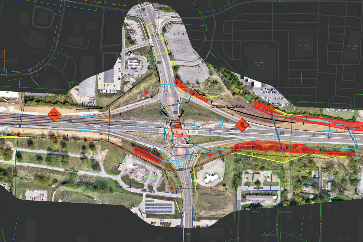
Construction has no shortage of data. The challenge is turning that data into something people can use.
That’s where GIS comes in, and we’re continuing to find new ways to utilize it.